

-
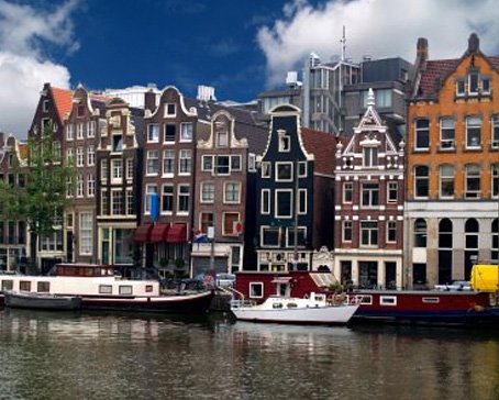
Amsterdam Canals
Amsterdam, capital of the Netherlands, has been called the "Venice of the North" for its more than one hundred kilometres of canals, about 90 islands and 1,500 bridges Read More -
Anne Frank House
The Anne Frank House located on the Prinsengracht canal in Amsterdam, the Netherlands, is a museum dedicated to Jewish wartime diarist Anne Frank, who hid from Nazi persecution with her family and four other people in hidden rooms at the rear of the building. Read More -
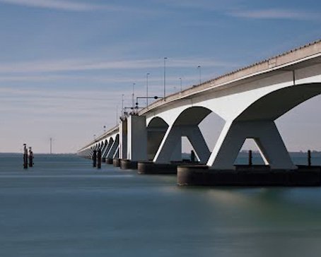
Deltaworks
Flood control is an important issue for the Netherlands, as about two thirds of its area is vulnerable to flooding, while the country is among the most densely populated on Earth. Natural sand dunes and man-made dikes, dams and floodgates provide defense against storm surges from the sea. Read More -
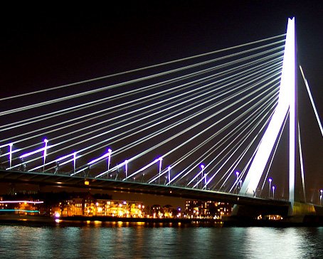
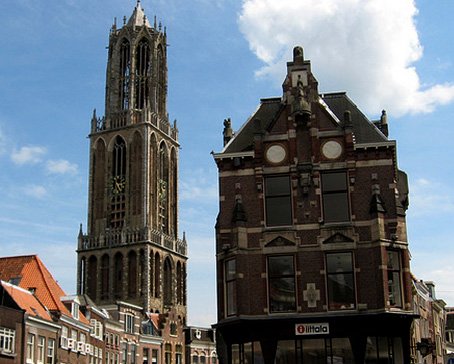
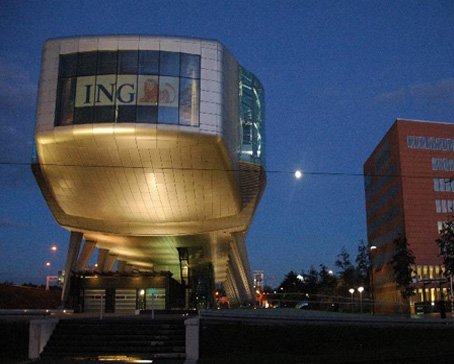
Rotterdam Architecture
Rotterdam is the second-largest city in the Netherlands and one of the largest ports in the world. Rotterdam is also famous for its Kubuswoningen or cube houses built by architect Piet Blom in 1984. In addition to that there are many international well known architects based in Rotterdam like O.M.A (Rem Koolhaas), MVRDV, Neutelings & Riedijk and Erick van Egeraat to name a few. Read More -
Google Maps - Aviation waypoints
A waypoint is a reference point in physical space used for purposes of navigation. Waypoints are sets of coordinates that identify a point in physical space. Coordinates used can vary depending on the application. Read More
-
 Flevoland is a province of the Netherlands. Located in the centre of the country, at the location of the former Zuiderzee, the province was established on January 1, 1986; the twelfth province of the country, with Lelystad as its capital. The province has approximately 394,758 inhabitants (2011) and consists of 6 municipalities.Read More
Flevoland
-
 Gelderland is a province of the Netherlands, located in the central eastern part of the country. Historically, the province (area) dates from states of the Holy Roman Empire and takes its name from the nearby German city of Geldern.Read More
Gelderland
-
 Groningen is the northeasternmost province of the Netherlands. In the east it borders the German state of Niedersachsen (districts of Leer and Emsland), in the south Drenthe, in the west Friesland and in the north the Wadden Sea. The capital of the province is the city of Groningen.Read More
Groningen
-
 Limburg is the southernmost of the twelve provinces of the Netherlands. It is located in the southeastern part of the country and is bordered by the Dutch provinces of Gelderland to the north and North Brabant to the north and northwest, Germany to the east and Belgium to the south and part of the west. Its capital is Maastricht.Read More
Limburg
-
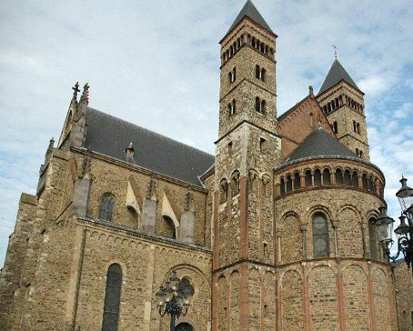
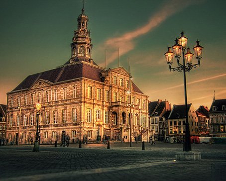 Maastricht is a city in the Netherlands. It is located in the southern part of the Dutch province of Limburg, of which it is the capital.Read More
Maastricht
-
 North Brabant (Dutch: Noord-Brabant is a province of the Netherlands, located in the south of the country, bordered by Belgium's Antwerp and Limburg provinces in the south, the Meuse River (Maas) in the north, and Limburg in the east and Zeeland in the west.Read More
North Brabant
-
 North Holland is a province situated on the North Sea in the northwest of the Netherlands. The provincial capital is Haarlem and its largest city is Amsterdam.Read More
North Holland
-
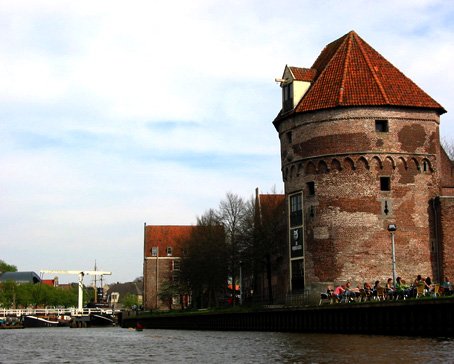 Overijssel is a province[1] of the Netherlands in the central-eastern part of the country. The province's name means "Lands across the river Issel", from the perspective of southern Europe. The capital city of Overijssel is Zwolle and the largest city is Enschede. The province has a population of 1,113,529 inhabitants.Read More
Overijssel
-
 South Holland is a province situated on the North Sea in the western part of the Netherlands. The provincial capital is The Hague and its largest city is Rotterdam.Read More
South Holland
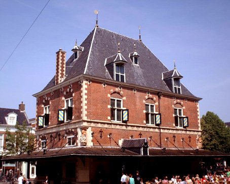
Alkmaar - a historic city
- Details
- Category: North Holland - places to visit
Alkmaar is a historic city in the Province of North Holland in the Netherlands, about 10 km inland from the coast, and 40 km north-west of Amsterdam. The city's population is about 95 000, the whole urban area has about twice that number.
 Alkmaar is the regional center for the northern part of the Province, serving about 600 000 people. The city center preserves the 17th-century pattern of canals and narrow streets, and has many historic buildings (and some ugly new ones). The nearby beaches and dune reserves are easily accessible from Alkmaar itself. Inland is a historic agricultural landscape, with 17th century polders: one (De Beemster) is a UNESCO World Heritage Site.
Alkmaar is on the 'peninsula' of Holland, north of Amsterdam and Haarlem. In the Middle Ages, this was a region of lakes and marshes, lying behind the coastal dunes. (The medieval coastline was different: the sea began north of the line Medemblik - Schagen - Petten). In the last 800 years, the region behind the dunes was reclaimed from lakes and the sea - often several times, as land was flooded again and again. The polders around Alkmaar are among the oldest in the Netherlands. The small Achtermeer, south of Alkmaar, was the first recorded drainage of a lake by windmills, in 1532.
Alkmaar began as a small settlement on higher ground, a natural sand ridge (old beach line). The oldest towns and villages in the County of Holland were built on these ridges, or at the edge of the dunes: Alkmaar is the most northern of the towns. The settlement was first recorded in the 9th century. As it grew, Alkmaar was granted city rights in 1254. It had a strategic importance as a defensive position for the County of Holland: the hostile West Frisian lands began on the other side of the moat, on the Oudorp side.
By the late Middle Ages, Alkmaar was the largest town north of Amsterdam and Haarlem, and it still is. It was a market town for the agricultural products of the region, and the Alkmaar cheese market is a reminder of that function. In 1573, during the Dutch Revolt, Alkmaar was besieged by the Spanish forces. The siege failed, and since then the 'victory at Alkmaar' is regarded as a turning point in the Netherlands' independence from Spain.
 In the 17th century Alkmaar was an important provincial city, and the layout of the old city is mainly from this period. Some of the older buildings, including all the city gates, were demolished in the 19th century, but most of the damage to the historic character was done by urban renewal, from the 1960's onward.
Although it is near the sea, Alkmaar has no coastal harbor. The coastal dunes have no natural inlet, and shipping formerly sailed eastwards to the sea, via lakes and channels. Between Alkmaar and the coast are the forested dunes of the Schoorlse Duinen, most of it a nature reserve. At the edge of the dunes are the villages of Egmond-Binnen, Egmond aan den Hoef, Bergen, Schoorl and Groet. In late-medieval times the coast stopped just north of Groet, but the present coastline extends to Den Helder, a naval port at the northern tip of the province.
Alkmaar today is a medium-size Dutch city, and it has outgrown its municipal boundaries. Much of the the newest housing is in suburbanised villages such as Heerhugowaard, 10 km to the north-east of the old city. Together with the city, they house about 200 000 people. However Alkmaar is not an administrative capital, it has no university but it has a so-called university for professional education ('hogeschool' in Dutch), which offers bachelor's degrees in several programmes. Its proximity to Amsterdam prevents Alkmaar from being an independent regional urban center, like Zwolle or Maastricht.
Map of Alkmaar

Latest articles
- Accommodatie Eurovisie Songfestival 2020 - Rotterdam
- Vermeer - famous Dutch painter from Delft
- Delft - Oude Kerk - Old Church
- Delft
- Enkhuizen - Havenweg - streetview - Google Maps
- Alkmaar - cheese market - Waagplein - streetview - Google Maps
- Hoorn - city center - Roode Steen - streetview - Google Maps
- Veere - Townhall - streetview - Google Maps
- Middelburg - Townhall - streetview - Google Maps
- Vlissingen - Smallekade - streetview - Google Maps
- Zierikzee- streetview - Google Maps
- Oosterschelde- streetview - Google Maps
- Haringvlietdam - Haringvlietsluis - streetview - Google Maps
- Hollands Diep - streetview - Google Maps
- Moerdijk bridges - streetview - Google Maps
- Harlingen - streetview - Google Maps
- Stavoren - streetview
- Dokkum - streetview
- Giethoorn - streetview
- Claire Morgan The Sound of Silence - Noord Brabants Museum
Visitors for Visitholland
We have 97 guests and no members online